Side project · TypeScript
Every aircraft at 32 US airports, live, from a world map down to the gate. ATC draws each airport's real ground layout from OpenStreetMap (runways, taxiways, aprons, terminals and gates) as a three.js diorama under a MapLibre GL map that flies down into it, and places the traffic from the adsb.lol feed on it as it moves: pushing back, taxiing, lining up, climbing out. The light and weather come from each airport's own METAR and the sun's real position. Follow one flight and the camera carries it gate to gate, from its origin's diorama across the map and into its destination's.
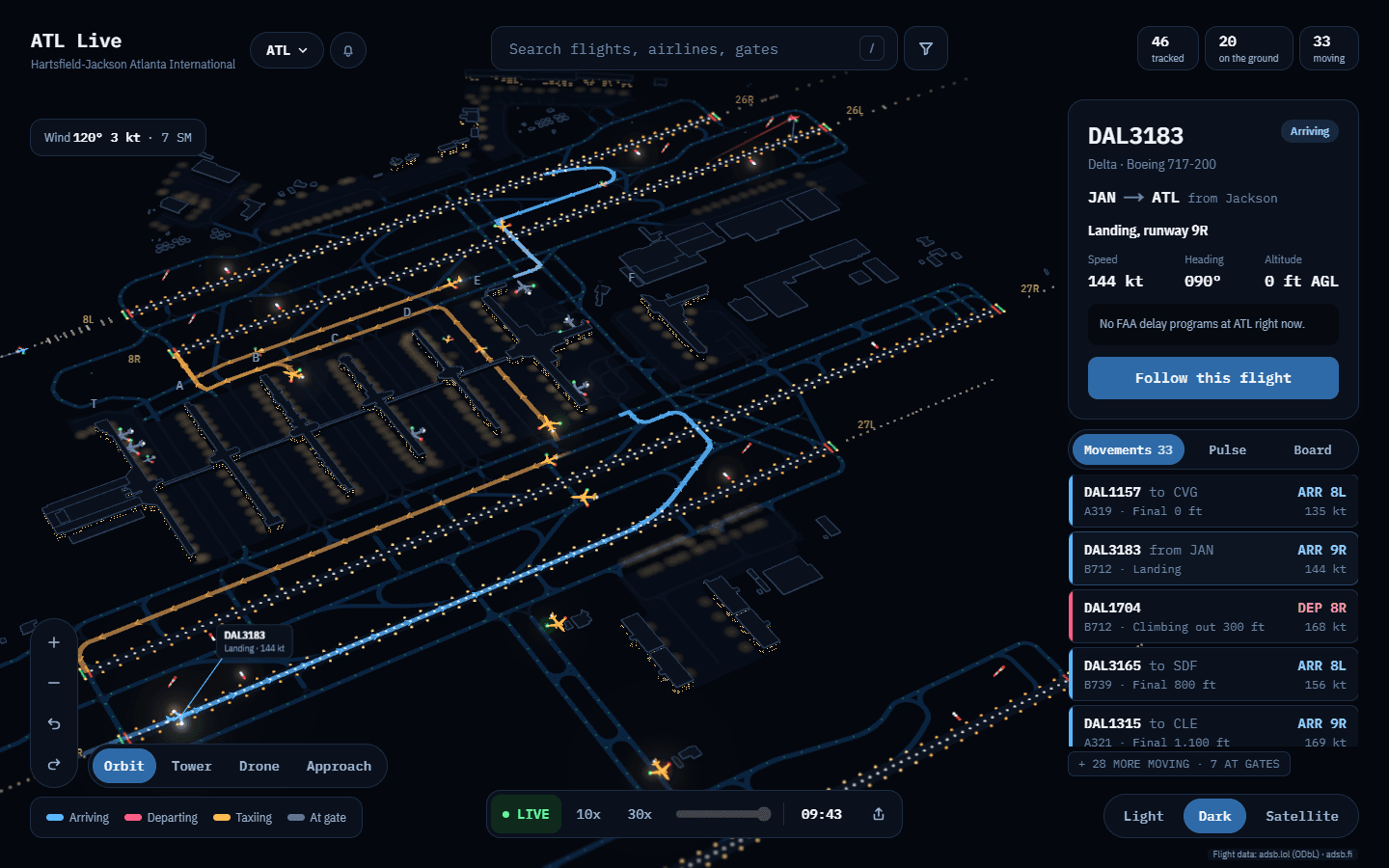
Screens
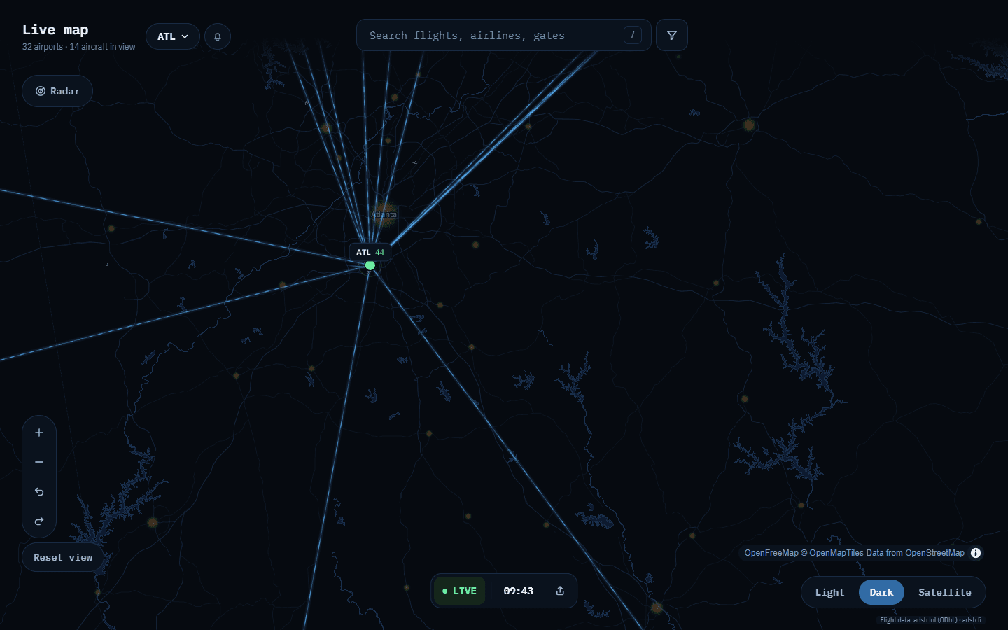
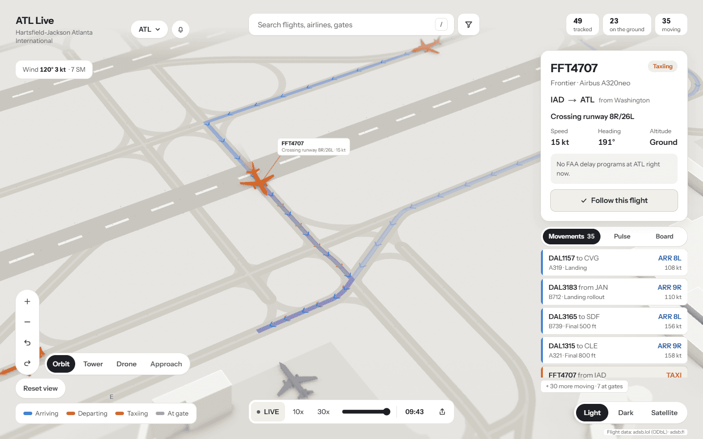
Details
Stack
